


Hubssense
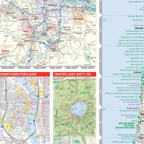
Rand McNally Oregon State Map - Easy to Read Travel Guide for Exploring Oregon
Rand McNally Oregon State Map - Easy to Read Travel Guide for Exploring Oregon
Regular price
$21.95 USD
Regular price
$24.99 USD
Sale price
$21.95 USD
Unit price
per
Taxes included.
Shipping calculated at checkout.
Couldn't load pickup availability


Available in All 50 States

Large, easy to read type size
40% larger with bigger type size (compared to Rand McNally Folded Map)

Find routes fast
Clearly labeled Interstate, U.S., state, and county highways

Parks and points of interest
Indications of parks, points of interest, airports, and more

Are we there yet?
Distance chart & mileage and driving times map

A Must Have for Travelers
- Accurate and reliable
- Easy-to-use legend
- Detailed index for finding destination locations fast